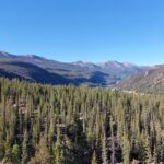
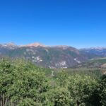
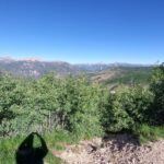
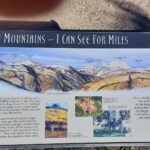
6/23/2024 – 7/14/2024 – We left West Fork Campground and drove back to US160. Once on US160 we had to get across Wolf Creek Pass with an elevation of 10,856 ft (3309 Meter). Wolf Creek Pass is also the Continental Divide. A continental divide is an area of raised terrain that separates a continent’s river systems that feed to different basins, e.g Pacific Ocean in the West and Atlantic Ocean in the East. Schnitzel was for sure huffing and puffing on the way up.
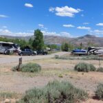
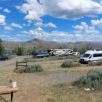
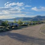
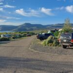
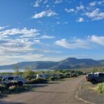
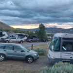
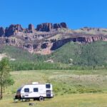
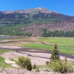
We arrived at Blue Mesa early afternoon and set up. Blue Mesa Recreational Ranch is located at a reservoir fed by the Gunnison River and about 15 miles from Gunnison. The location is very scenic with views of the lake and the mountains. Gunnison is a nice little town with Grocery stores and lots of restaurants. During our first week we did go out for lunch to a Nepalese – Indian restaurant and enjoyed some great food from these countries. One day we drove to Montrose on the west side of the reservoir. This was mainly to see if the detour (one of the bridges is out across the Gunnison River) we need to take when we go west to Moab, UT is suitable for Schnitzel. The good news is that the detour is OK , the bad news is that it adds at least 90 minutes to our drive.
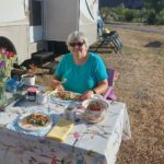
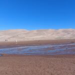
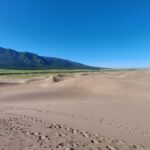
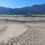
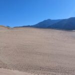
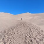
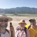
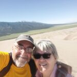
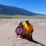
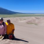
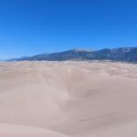
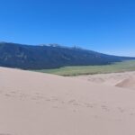
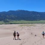
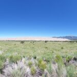
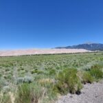
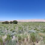
Sunday Friends of us, Dorsey and Kyle, arrived and set up on the campsite next to us. It is great to see them again after nearly 8 month. Monday thru Wednesday we mainly hung out together, catching up on what was happening during the eight month and pool and hot tub. Thursday we drove to the Great Sand Dunes NP with Dorsey and Kyle and hiked up the highest dune in North America. The elevation change from bottom to top of Star Dune is 750 ft. It took us 2 hours to get to the top which provides a great view of the whole area, approx. 30 square miles. Maria and I have been at the dunes once before, 12 years ago, and I could not make it to the top at that time. Maria and our friend Arina went up there during that trip.
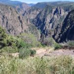
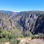
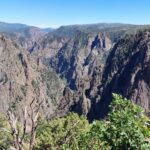
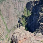
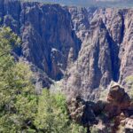
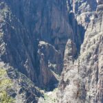
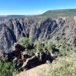
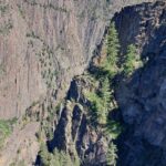
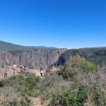
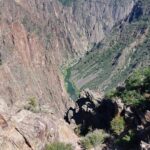
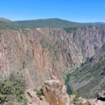
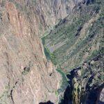
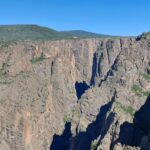
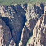
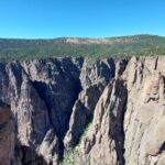
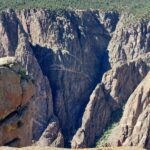
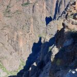
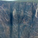
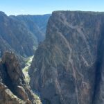
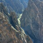
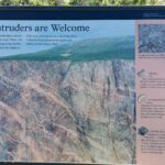
Friday we went to Montrose to do some errands and lunch. Afterwards we visited the Black Canyon and drove the south rim. The name, Black Canyon, is due to the depts and narrowness of the canyon and the sun reaching into the canyon only for a brief period of time in a day. The canyon is up to 2,722 ft (829 m) deep.
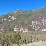
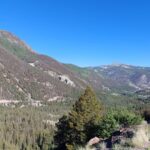
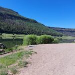
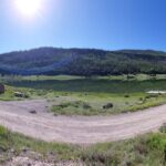
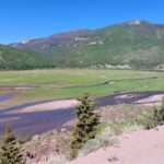
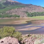
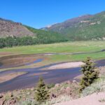
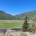
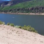
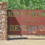
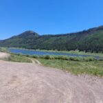
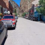
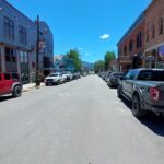
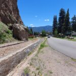
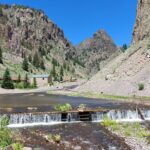
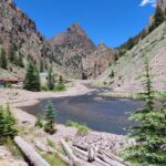
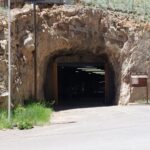
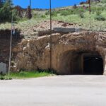
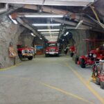
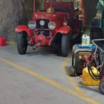
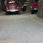
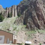
Saturday we, Dorsey, Kyle, Maria and I wanted to see the Rio Grande Headwaters. To get there the last 30 some odd miles are a forest road (dirt/gravel road) and after about 17 miles we decided to turn around since the Honda CRV we used was not the right vehicle for the ruts and rocks we encountered. On the way back to the main road we stopped at Rio Grande Reservoir, took some snaps of the great scenery and eventually went to Creede, CO. Creede is a little town with lots of mining history . Kyle and I went into the museum and learned that they mined for silver, gold and copper. At the peak of mining over 10,000 people lived in Creede, whereas there are only about 300 residents today. One of the very unique features of the town is the fire station which is located underground within a main tunnel and multiple side arms.
Sunday we all needed a break and we spend the day at the campground.
Until next update,
Maria and Bernhard
